General Information
| What? | Description |
|---|---|
| Name | Okun Tract |
| Location | between the village of Kitaygorod and the village of Demshyn, Kamianets-Podilskyi district, Khmelnytskyi region |
| Character | canyon with steep slopes, rocks, waterfalls |
| Near | “Heron” reserve (177 hectares) |
| Distance from Kamianets | ~28 km |
| Entry | free |
What is really here
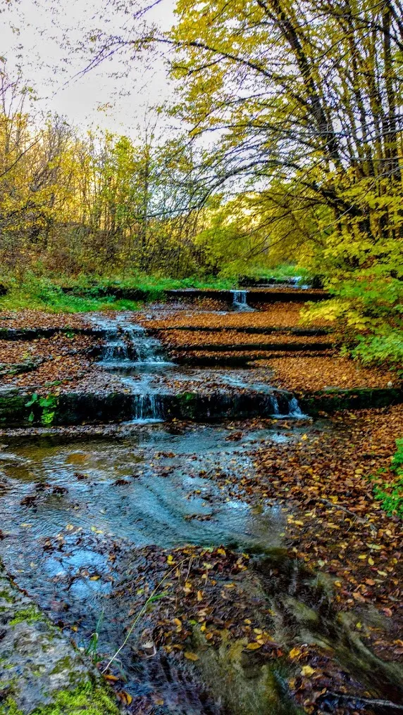
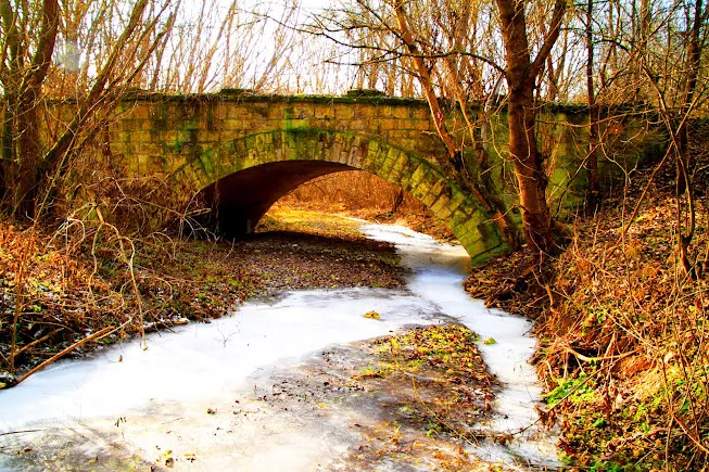
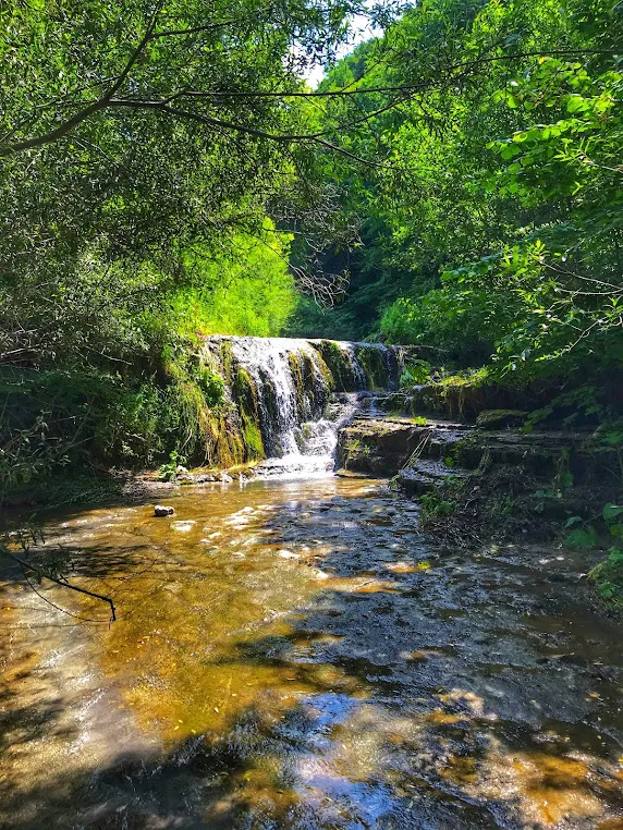
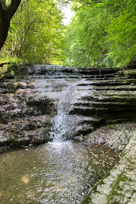
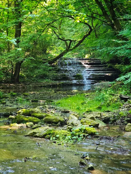
Between the villages of Kitaygorod and Demshyn, the tract looks like a real canyon – with steep slopes and numerous rocks. There are two large waterfalls and many small ones in the tract. The river breaks through limestone ledges, so the waterfalls here are not seasonal – they are there anytime, except in the heat.
Nearby is the “Chaplya” reserve with an area of 177 hectares above the mouth of the Ternava River and the left bank of the Dniester. The name is not accidental: there really were many gray herons here. In the forest – common and holm oaks, beech, hornbeam and feathery klokichka – rare vegetation of calcetrophytic (limestone) slopes.
Demshyn and the “warm Podillya”
Demshyn is a Transnistrian village 28 km from Kamianets-Podilskyi. It is located in the so-called “warm Podillya”: the microclimate of the deep Dniester valleys is such that spring comes two weeks earlier than the average for the region. This is noticeable for April trips.
The first settlements on this land are Paleolithic. Monuments of material culture have been found in several tracts around the village. The first written mention is in 1638: Ivan Pototsky sold his estates together with Demshyn.
What not to expect
The road to Demshin is a “rather bad local road” according to Wikipedia. This is not an exaggeration: after rain, it is better not to try to reach the tract in a regular car. An offline map and patience are a must.
And another thing: the tract is stretched between two villages. If you drive from the side of Demshin or Kitaygorod, the route will be different. It is better to clarify the specific location of the waterfalls locally or using GPS tracks from tourists.
What to see nearby and how to fit it into your itinerary
Okun’nyi nature reserve is located between two significant points of the Dniester:
- Bakota (~15 km) – a flooded rock monastery, the most famous point on this bank
- Kamyanetsia-Podilskyi (~28 km) – if you plan a full day
Okun’nyi is most conveniently made a stop between Kamyanets and Bakota – or vice versa. The bicycle route between these points through the nature reserve is one of the popular routes.
It is part of the natural chain “Dniester Panoramas of Ukraine”.
Practical information
- Entrance: free
- Road: local, poor quality; after rain — it is better not to go
- Infrastructure: none
- Time on site: 40–90 min (depending on the route between the waterfalls)
- Shoes: trekking; in wet weather — be careful on the slopes
How to get there
- From Kamianets-Podilskyi: ~28 km along the T 2317 road → turn near Vykhvatnytsy → local road to Demshin
- From Bakota: ~15 km along the coast (by bike or car)
- It is better to download the navigation offline
Conclusion
Okun Tract is not a “place without attractions.” It is a canyon with waterfalls that is simply poorly described on the Internet. If you are going to Bakota, it is worth stopping by.