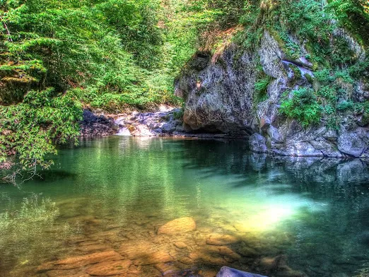
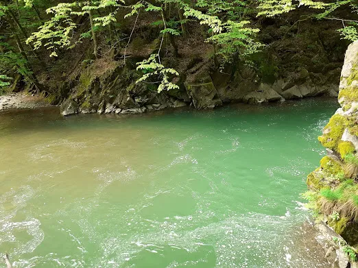
You can’t drive all the way to the Blue Lagoon in Transcarpathia: the final stretch is on foot along a forest road that turns to mud after rain. This isn’t a marked lakeside attraction with parking by the water — it’s a mountain pool on the Liutianka River, 4–5 miles above the village of Chornoholova, a spot only locals used to know how to find.
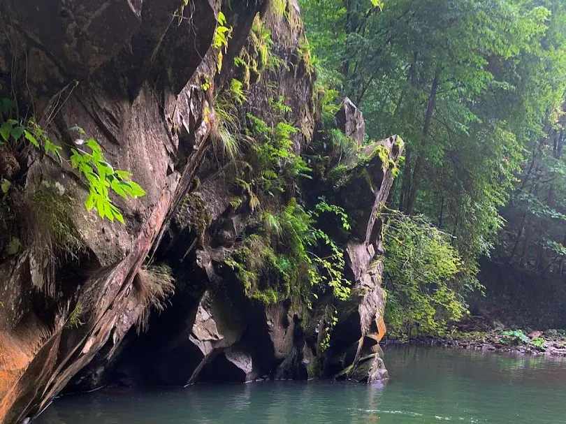
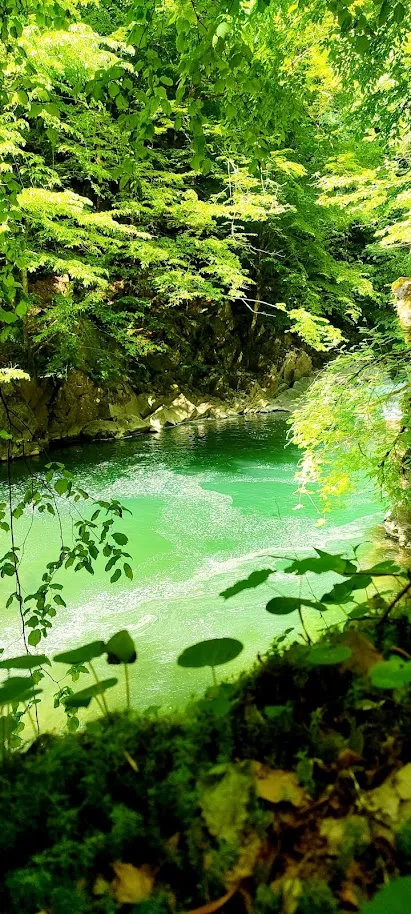
The turquoise color comes not from chemistry but from a quartz riverbed, which is why the lagoon’s shade shifts with the time of day and season. A narrow-gauge railway once ran through here (the Dubrynychi–Chornoholova–Liuta line, in service until 1974), and a rock pierced clean through for the tracks still stands beside the pool as a reminder of that history.
General Information
| What? | Description |
|---|---|
| Name | Blue Lagoon (Liutianka Lagoon, “Paradise Lagoon”) |
| Location | Uzhhorod region, Zakarpattia Oblast, Chornoholova forestry district, 4–5 miles upstream on the Liutianka River from Chornoholova village |
| Coordinates | Google Maps pins the location inaccurately — follow the route from the village rather than the map marker |
| Type | Mountain waterfall and natural pool on the Liutianka River |
| Size/Depth | Pool depth 8–10 ft (2.5–3 m) |
| Temperature | Cold even in high-summer August |
| Status | Territory of the Velykyi Bereznyi forestry enterprise; fishing prohibited |
How the Lagoon Formed
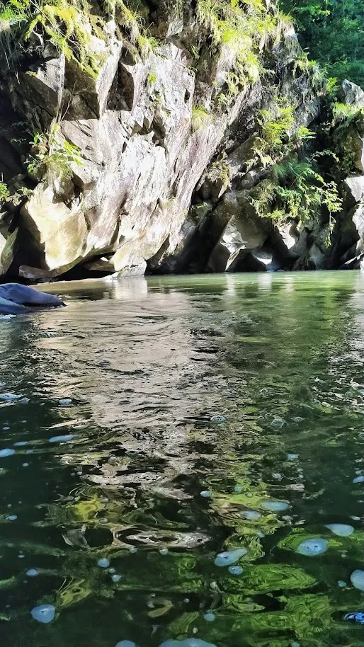
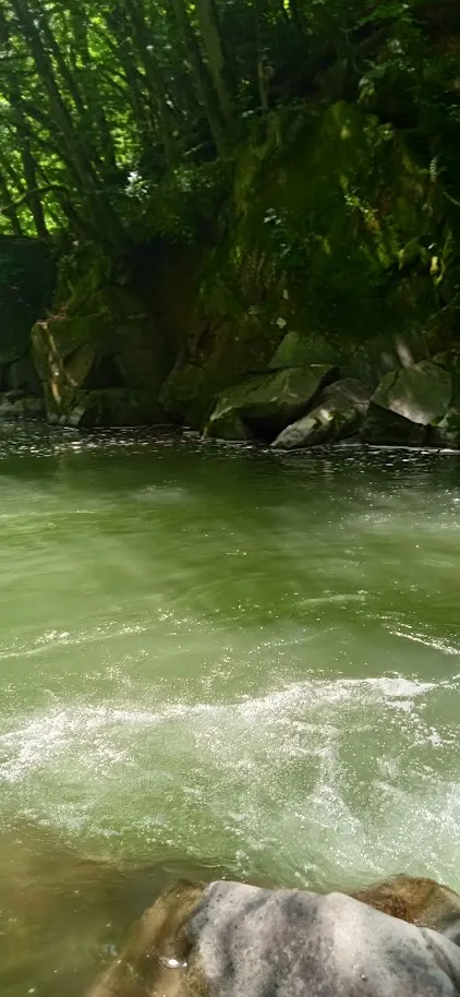
A small waterfall between two rocks carved out a deep pool with sheer stone walls. Locals used to call the lagoon “Stanytska” — if you ask for directions in the village, that name works better than “Blue Lagoon.” I think this dual naming — official-tourist versus local — says a lot about how recently this place became known outside Chornoholova.
The Water and Fish
The water is clear enough to watch fish swim by, though catching them is forbidden — the site sits under forestry protection. Further downstream are a few smaller, similar pools: less dramatic, but worth the short detour.
What Not to Expect
Don’t expect a groomed beach or an easy stroll: after rain, the last 1.2 miles (2 km) call for shoes you don’t mind ruining, and GPS coordinates on maps often mark the lagoon in the wrong spot. The water stays cold even in summer — swimming here isn’t for everyone, and locals warn visitors about this directly.
What to See Nearby and How to Fit It Into a Route
- Uzhhorod — about 29 miles (~46 km), Zakarpattia’s regional capital with its own historic castle.
- Nevytske Castle — roughly 25 miles (~40 km), ruins with a view over the Uzh valley.
- Lumshory — mineral springs in the same mountainous part of Uzhhorod Raion.
Practical Information
- Entry: free, no tickets
- How to get there: drive to Chornoholova village, then walk 4–5 miles (~7–8 km) along a forest road (part of the path has handrails)
- Time needed: half a day round trip
- Special conditions: hiking shoes required; rubber boots recommended for the last stretch after rain
Conclusion
The Blue Lagoon is more of a hike than a stop: the payoff for 4–5 miles of forest road is a turquoise pool that didn’t exist on maps just a few years ago.